If you are planning your trip to Athens, in the interactive map on this page you can find all the places of interest that we recommend you visit and other useful points of interest for your trip, such as the airport or the port of Piraeus. Simply click on the placeholders in the map, or in the list just below, to go to the in-depth tabs on the individual point of interest.
The Hellenic Tourist Board has made a PDF map of the city available, you can download it below.
PDF Map of AthensIf during your stay in Athens you will be using the metro to get around, take a look at the map of the lines, to better plan your trip; to view, download and possibly print it, click on the button below.
PDF Map of Athens Metro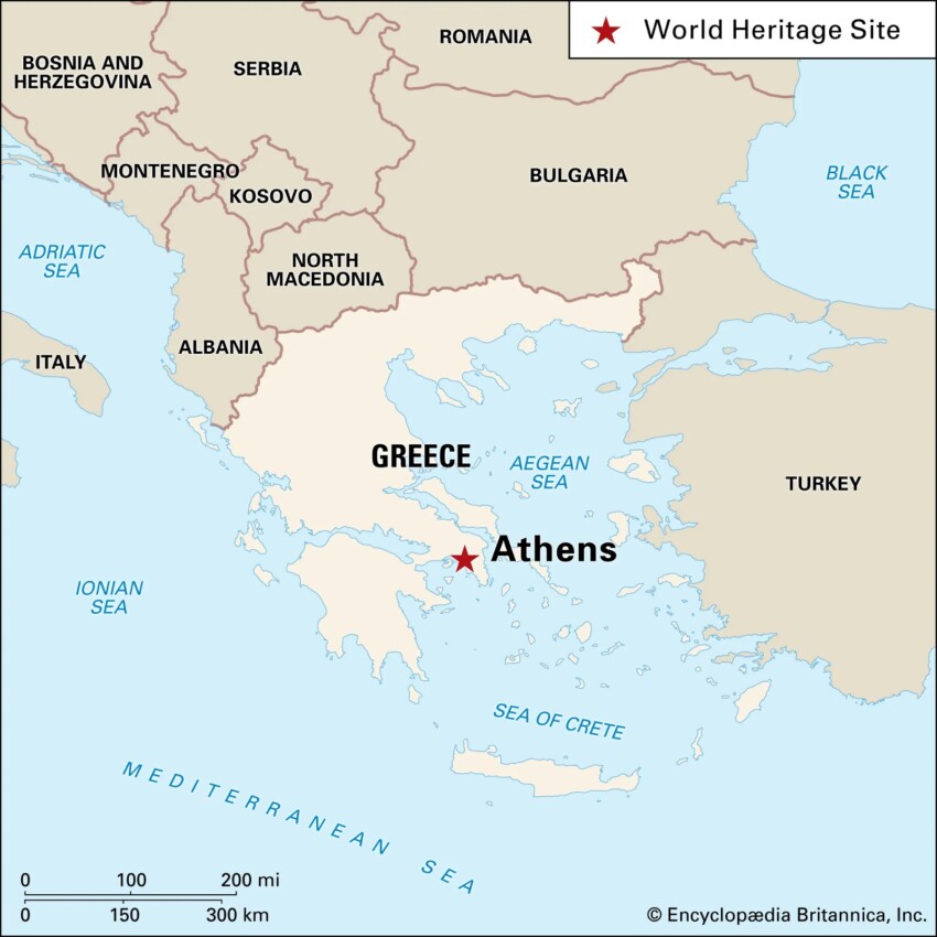
Athens is the capital and largest city of Greece. It is located in south-eastern Europe; it is situated on a peninsula overlooking the Aegean Sea and the gulf of the same name.
The city is surrounded by three hills, the Lycabettus, the Acropolis and the Areopagus, and stretches for only 122 km on a base of 287 km2: it is inhabited by about 1,300,000 people.
 Airport
 Port
Port Attraction
 District
 Hotel
Hotel  Budget accommodations
  Apartments
  Family Hotel
  Luxury Hotel
  Resorts